 |
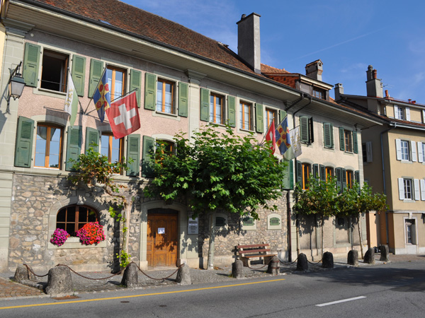
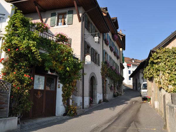
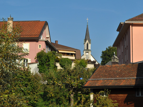
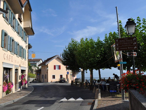
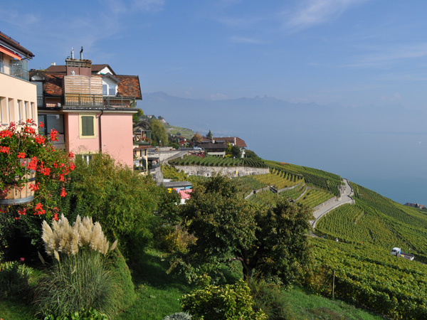
Chexbres is located at 565 metres above sea level, 12 km east-southeast of Lausanne, capital of the Canton de Vaud. The village covers an area east of the Forestay river, in Lavaux, a scenic location about 200 meters above the lake level.
The municipality covers an area of 2.1 sq.km in a section of Lavaux. Crêt Bérard at 715 m above sea level is the highest point of Chexbres. To the west, the area extends beyond the valleys of the Forestay on the hill of Le Signal at up to 640 m above sea level. In 1997, 32% of land consisted of settlement, 14% forest and woodland and 54% allocated to agriculture.