| Aosta | |  |
| Main city of Aosta Valley (Val d'Aoste), a bilingual region in the Italian Alps (French- and Italian-speaking). It is an important European crossroads, a gate to Italy, France (Mont Blanc tunnel) and Switzerland (Grand-Saint-Bernard tunnel and mountain pass). |
| Campione d´Italia | |  |
| A tiny piece of Italy landlocked in Switzerland, in the canton of Ticino, on the shores of Ceresio (Lake Lugano). |
| Ceresio (Lake Lugano) | |  |
| Nestled between Lake Maggiore and Lake Como, Lake Lugano is often called Ceresio by Italy, which shares it with Switzerland. It has a surface area of 48.9 km2, with about one third of it on Italian territory. |
| Cervino | |  |
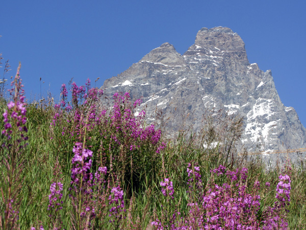
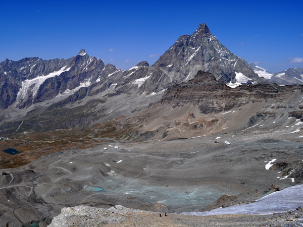
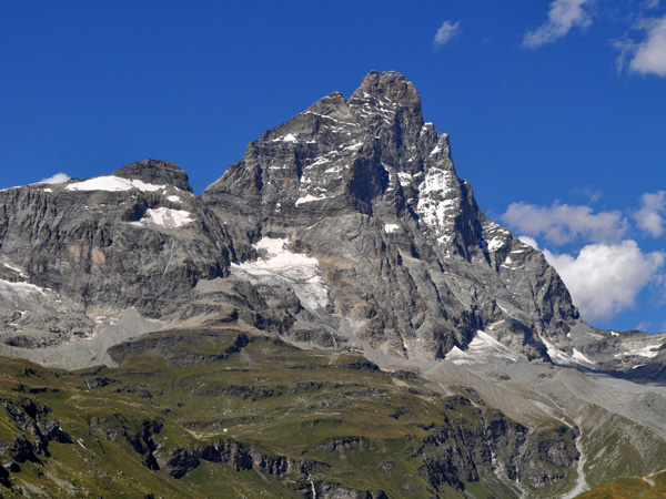
| Do you think the Matterhorn/Cervin is a Swiss mountain? You're wrong! It's an Italo-Swiss mountain, as the border is just crossing its top! You can reach the Cervino from the South, across the Val d'Aoste then along the Valtournenche. |
| Chamois | |  |
| The one and only village in Italy that can only be reached by cable car, on foot, by bike... or by plane or helicopter since the tiny "Altiporto di Chamois" is right next door! |
| Cogne | |  |
| South of Aosta, a large village of about 1500 inhabitants has given its name to a valley that climbs to the Gran Paradiso National Park. It is one of the few counter-valleys that open up to the south from the Aosta Valley. |
| Como (Lake) | |  |
| About 45 km north of Milan and a few kilometres east of Ticino (Switzerland), Lake Como has been a place frequented by aristocrats since Roman times and is still an outstanding tourist destination today. It is considered one of the most beautiful lakes in the world because of its climate and its landscapes dotted with sumptuous villas and villages. |
| Courmayeur | |  |
| Set in a picturesque mountain scenery, Courmayeur is an attractive year-round destination. Located at the foot of the Mont Blanc massif on its Italian side, it is a famous ski resort in winter, and a hikers paradise in summer. |
| Curon Venosta | |  |
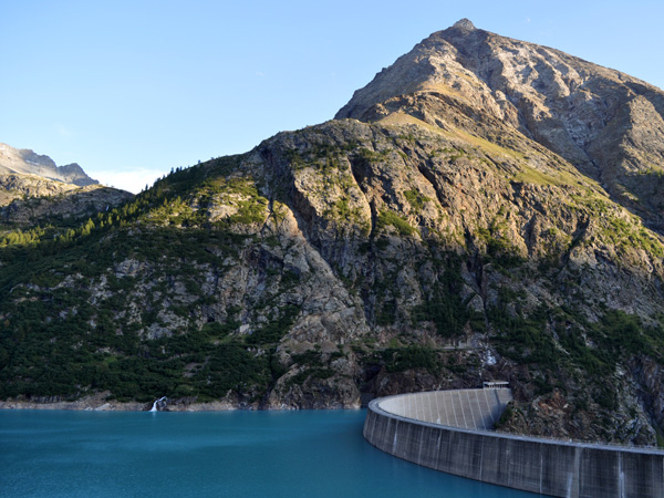
| A surprising place on the edge of the artificial lake of Resia. In the centre of a lagoon stands the bell tower of the old village, which was swallowed up when the Resia dam was built in 1950. |
| Domodossola | |  |
| A little town in Piedmont (Northern Italy), on the south side of the Alps. First town south of Simplon mountain pass and railway tunnel, on the Brig-Milano connection. |
| Etroubles | |  |
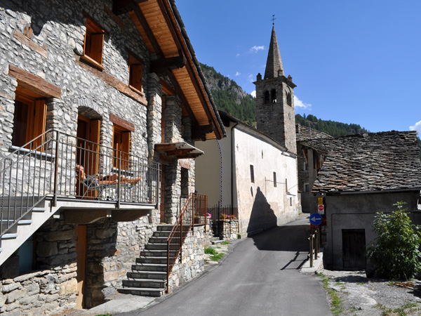
| Etroubles is a picturesque village in the middle valley of the Great St Bernard, halfway between Aosta and the top of the pass and a few kilometres from the tunnel entrance on the Italian side. |
| Grand-Saint-Bernard | |  |
| The high mountain pass between Valais in Switzerland and Val d'Aoste in Italy. Home of the famous St-Bernard rescue dog, the one that has a keg around the neck! |
| La Place (Issogne) | |  |
| Make a small detour to La Place, the main village of Issogne, which you will not pass through on the Valle d'Aosta motorway or main road, you can visit there one of the most beautiful castles in the valley. |
| Lago Maggiore | |  |
| Lake Maggiore is a pre-Alpine lake of 212 km2 and 65 km in length, about 50 km northwest of Milan, straddling Piedmont and Lombardy in Italy and the Canton of Ticino in Switzerland. |
| Lake Orta | |  |
| Parallel to Lake Maggiore, Lake Orta is located on the road from Domodossola to Novara. It is the westernmost of the Alpine lakes created by the Simplon glacier after the last ice age some twenty thousand years ago. |
| Lichtenberg | |  |
| This village is located near Prato allo Stelvio, a small town of just under 4,000 inhabitants located in Val Venosta (Vinschgau), the long valley that runs down from the Austrian border through the Italian South Tyrol. From here the road to the Stelvio and Umbrail passes starts. |
| Madonna di Tirano | |  |
| Madonna di Tirano is the area of the city of Tirano where the Basilica of the same name stands, a Catholic church dating from the beginning of the 16th century that should not be missed, whether you are a believer or not. |
| Porto Ceresio | |  |
| The Swiss call it Lake Lugano, but for the Italians it is Ceresio, and at its south-western tip there is a very picturesque village logically named Porto Ceresio, which you should not miss. |
| Reschen Pass | |  |
| The Resia Pass (Italian: Passo di Resia, German: Reschenpass), at an altitude of 1507 m, is located in the German-speaking Italian region of South Tyrol, about 1.5 km south of the Austrian border. |
| South Tyrol | |  |
| An Alpine region in central Europe, the former County of Tyrol, a possession of Austria-Hungary, was divided between Austria and Italy after the First World War. The south is nowadays part of the autonomous Italian region of Trentino-Alto Adige, which is largely German-speaking. |
| Tonale Pass | |  |
| On the border between Lombardy and Trentino-Alto Adige, the Tonale Pass connects Val di Sole with Val Camonica at an altitude of 1883 metres. It was once a very important international crossing point. |
| Valpelline | |  |
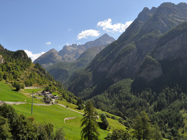
| A valley of the Italian Alps, above Aosta (Val d'Aoste), remote but easy to reach. A paradise for treks, far from the trendy villages and therefore quite authentic. You'll love it! |
| Valtellina | |  |
| The Valtelline, a long valley (some 120 km) in the south of Graubünden, roughly corresponds to the valley of the river Adda, which rises near the Stelvio Pass and flows into Lake Como. |
| Valtournenche | |  |
| The Valtournenche valley, in Val d'Aoste, is the Italian side of the Matterhorn, named here Cervino. South of Mattertal valley, on the Swiss side, you have Zermatt, north of Valtournenche you have Cervinia-Breuil, right at the foot of the famous mountain. |
| Z´Makana (Macugnaga) | |  |
| South of the Monte Rosa massif, an Italian valley which was populated by Walser, Germanic people coming from Wallis (Valais, Switzerland). Facing the east side of the Monte Rosa with its 2,600 m vertical drop. |

